
The Big South Fork National River & Recreation Area (BSF) encompasses 125,000 acres of the Cumberland Plateau in Tennessee and Kentucky. The Big South Fork River is the south fork of the Cumberland River. The free-flowing river and its tributaries have carved deep gorges, bluffs and numerous land bridges.
For today’s geology lesson, a land bridge is also an arch. But not all arches are land bridges. The difference being that a land bridge spans an erosion valley, while an arch does not. With the BSF’s Twin Arches, you get two land bridge arches for the price of a single 1.4 - mile round trip hike. Kind of a - BOGO hike.
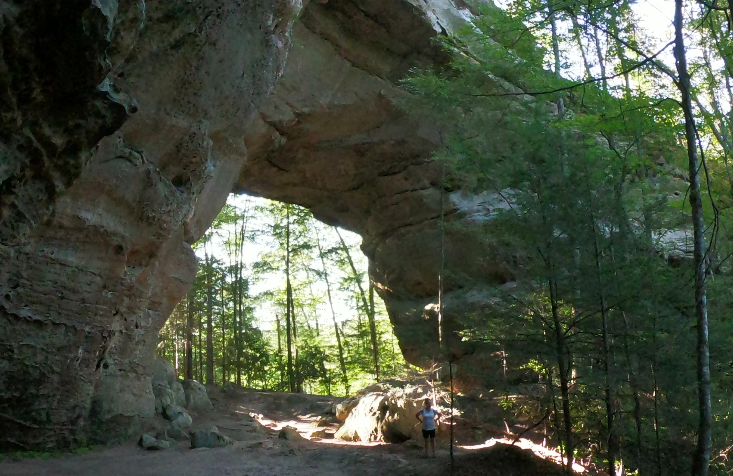
The arches are commonly referred to as the north and south arches. If both arches were to be considered as a single landscape feature, the land bridge would be one of the largest in the world.
The south arch is one of the tallest in the eastern United States.


While smaller, the north arch may be a bit more aesthetic.
The land bridge at the top is almost perfectly shaped.

Taking the bridge to the end of the north arch - it’s just a short scramble up to a bluff for some unobstructed sight lines.


AND YES!!! The sunshine was finally - unobstructed as well.
